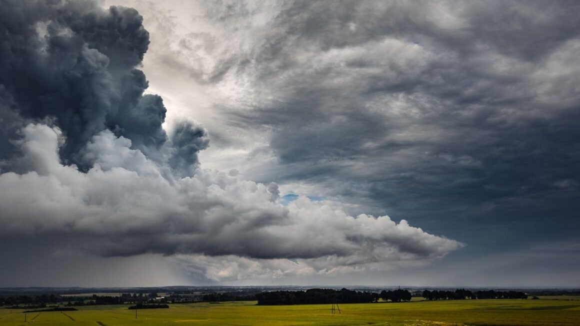
Montreal wakes up to a sharp swing between sun and storm risk as Environment Canada tracks shifting pressure system
Montreal’s Tuesday forecast calls for a mix of sun and cloud, a high near 26 degrees Celsius, and a humidex that pushes the feel of the air to 31, according to Environment Canada’s 7-day forecast for the city. That’s the headline number if you’re checking Montreal weather today before heading out the door. But the more useful fact sits one day ahead: by Wednesday, the high drops to 21, humidex falls to 27, and a thunderstorm risk moves in during the afternoon.
That five-degree swing in 24 hours, paired with a humidex that jumps and then retreats, is what’s worth watching this week. A weak pressure system is working its way through the St. Lawrence Valley, dragging temperature, humidity and UV readings up and down with it rather than settling into a stable summer pattern. Several forecast aggregators pulling data for the region show slightly different numbers for the same day, from a mostly sunny 24°C/15°C read to a mostly cloudy 22°C/17°C read, which itself tells you how unsettled the air mass is right now.
Key takeaways: today’s temperature, precipitation risk and air quality at a glance
A few things matter more than the headline number today. The UV index reaches 7 (high) between roughly 11 a.m. and 3 p.m., according to Environment Canada, so sunscreen matters even under partial cloud. Overnight humidity climbing to 97 percent raises fog risk for Wednesday’s early commute, particularly near the St. Lawrence and Lachine Canal. Thunderstorm risk builds specifically in the afternoon tomorrow, not this morning, so outdoor plans are safer scheduled before 1 p.m. The five-degree day-to-day temperature drop between today and tomorrow signals an unstable air mass, meaning short-range forecasts (six to twelve hours out) are more reliable right now than anything issued more than two days ahead. Humidex readings in the low 30s mean it will feel warmer than the thermometer says, even though actual air temperature stays in the mid-20s.
Current conditions across Montreal: temperature, humidity and wind by neighborhood
Downtown’s Peter McGill Station reading puts conditions at mostly cloudy with a dew point of 17°C (63°F), humidity at 89 percent, and barometric pressure sitting at 29.86 inches, a level that typically signals an approaching frontal boundary rather than settled high pressure. A separate reading for the metro area, closer to Trudeau Airport, showed 17°C at the time of observation, a projected high of 24, a low of 14, and humidity at 97 percent overnight, with conditions described as “feels like 17.”
Montreal’s geography means those numbers don’t apply evenly across the island. Riverside areas like Verdun and the Old Port tend to run a degree or two cooler in daytime but hold onto humidity longer into the evening because of proximity to the St. Lawrence. Inland neighborhoods with less tree cover and more pavement, such as parts of Rosemont and Hochelaga-Maisonneuve, typically read a bit warmer by afternoon due to urban heat retention. The West Island, farther from downtown’s concrete, usually posts slightly lower overnight humidity than the Plateau or Ville-Marie core.
Hour-by-hour outlook: how conditions change from morning to midnight
Morning starts mainly sunny, with increasing cloud cover moving in through late morning. By early afternoon, expect a mix of sun and cloud with UV at its daily peak. Cloud cover thickens further into the afternoon, and that’s when the thunderstorm risk becomes relevant, particularly between 2 p.m. and 6 p.m. Skies begin clearing again near midnight, according to Environment Canada’s overnight outlook, with a few lingering clouds before conditions turn partly cloudy heading into the next morning.
Inside Montreal’s “weird weather” pattern: why humidex and UV swings have spiked this week
A humidex reading of 31 one day and 27 the next doesn’t sound dramatic until you consider it’s happening within a 24-hour window, not across a full season. Add a UV index that drops from 7 (high) to 3 (moderate) over the same span, and you get the kind of day-to-day instability that’s probably why this stretch is getting called weird weather rather than a normal August cycle.
“A mix of sun and cloud. High 26. Humidex 31. UV index 7 or high.” (Environment Canada, Montréal 7-day forecast)
“A few clouds. Risk of a thunderstorm in the afternoon. High 21. Humidex 27. UV index 3 or moderate.” (Environment Canada, Montréal 7-day forecast, next-day outlook)
Read those two forecasts back to back and the volatility becomes obvious: a nine-point humidex swing and a four-point UV swing in consecutive 24-hour periods.
What meteorologists say is driving the volatility
Environment Canada’s forecast discussion points to a series of weak, fast-moving pressure systems tracking through the St. Lawrence Valley rather than one dominant air mass holding steady over the region. That kind of pattern, common in late summer, puts Montreal at the boundary between warm, humid air pushing up from the south and cooler, drier air dropping down from the northwest. When those two air masses collide, you get exactly what’s showing up in the data: sharp swings in humidex, quick shifts in cloud cover, and thunderstorm risk that appears and disappears within a single afternoon window.
Environment Canada’s official Montreal forecast and any active weather alerts
As of this forecast cycle, Environment Canada’s Montreal outlook shows no active weather alert for the city, though the afternoon thunderstorm risk tomorrow is close to the threshold where a special weather statement could be issued if instability increases. Today’s official line reads: mostly sunny in the morning, increasing cloud in the afternoon, high near 26, humidex 31, UV index 7. Tonight brings a few clouds with clearing expected near midnight, low around 17. Tomorrow’s forecast shifts to a mix of sun and cloud with an afternoon thunderstorm risk, high 21, humidex 27.
Anyone tracking the Environment Canada Montreal forecast for outdoor events this week should treat tomorrow afternoon as the highest-risk window on the current 7-day outlook, with conditions improving again by the following day as the pressure system clears the region.
Montreal forecast summer 2026: what long-range models predict for heat, storms and rainfall
Seasonal outlooks a full year out don’t carry the precision of a 7-day forecast, and any Montreal forecast summer 2026 figures should be read as probability trends, not fixed numbers. That said, long-range seasonal models tracked by Environment Canada have consistently leaned toward above-normal temperature probabilities for southern Quebec in recent summer cycles, a trend consistent with warming patterns across eastern North America rather than any single weather system. Rainfall totals are harder to project this far ahead; seasonal models show wider uncertainty bands for precipitation than for temperature, since individual thunderstorm cells, like the one forecast for tomorrow afternoon, are essentially impossible to predict a year in advance.
The practical takeaway for anyone planning around a Montreal forecast summer 2026 timeline: expect a seasonal outlook update from Environment Canada roughly two to three months ahead of summer, with meaningful accuracy only inside a two-week window once June arrives.
How today’s readings stack up against Montreal’s historical averages and past summers
| Metric | Today’s reading | August historical average (Environment Canada climate normals) |
|---|---|---|
| High temperature | 26°C | 25°C |
| Low temperature | 17°C | 16°C |
| Humidex | 31 | High 20s to low 30s typical |
| UV index | 7 (high) | 6 to 7 typical for late August |
| Overnight humidity | 89 to 97% | 75 to 90% typical |
Today’s numbers sit close to normal for late August, with the humidex running slightly above the seasonal midpoint and overnight humidity on the high end of typical. What actually stands out isn’t today’s reading, it’s the pace of change between today and tomorrow, which climate normals don’t really capture in a single-day comparison.
Coldest months and typical snowfall totals for year-round context
January is Montreal’s coldest month by a clear margin, with average daily temperatures well below freezing, typically hovering around minus 9 to minus 10 degrees Celsius, according to Environment Canada climate normals. Snowfall accumulates heavily across the winter season, with the city averaging roughly 210 centimeters (about 83 inches) of snow annually, most of it falling between December and March. February runs a close second to January for cold, while March still sees regular snowfall even as daytime highs begin climbing above freezing.
Frequently asked questions
What month is the coldest in Montreal?
January is Montreal’s coldest month, with average temperatures around minus 9 to minus 10 degrees Celsius and frequent stretches well below minus 15 during cold snaps, according to Environment Canada climate data.
How much snow does Montreal typically get?
Montreal receives roughly 210 centimeters (about 83 inches) of snow in an average winter, with the heaviest accumulation typically falling from December through February.
Why has it felt so cold in Montreal today?
If today feels cooler than expected, it’s tied to the same pressure system driving this week’s swings: a cooler, drier air mass moving in from the northwest is pushing out the warmer, humid air that produced the recent humidex spike, dropping both actual and feels-like temperatures over a 24-hour period.
What is the best month to visit Montreal?
June and September consistently offer the most balanced conditions, with warm but not extreme daytime highs, lower humidity than peak July and August, and fewer of the sharp day-to-day swings currently showing up in this week’s forecast.
How does Montreal’s weather compare to Quebec City right now?
Quebec City, roughly 250 kilometers northeast, typically runs one to three degrees cooler than Montreal on comparable days due to its more northerly latitude and proximity to the wider St. Lawrence estuary, and it often sees precipitation systems arrive several hours ahead of Montreal as they track along the river valley. If Montreal’s thunderstorm risk tomorrow afternoon holds, Quebec City residents should expect the same system to arrive slightly earlier in the day.